Hanmer Forest Conservation Park
This park surrounding Hanmer Springs is popular with families, offering easy walking and biking through both exotic and indigenous forests.
A network of generally easy walking and biking tracks surround Hanmer Springs. Some tracks are within the park, while others lie outside the park on land owned by the Ngāi Tahu iwi. The park itself actually extends well to the west of the village, with its highest point being Miromiro, at 1875m.
The most popular local walk is most likely the brief climb of Conical Hill, which sits at the end of the main road. This benched track climbs to a lookout constructed of "Hanmer marble" and a rather dismal vista of pines forest interspersed with clearfelling. Still, it is a good family walk, and good exercise.
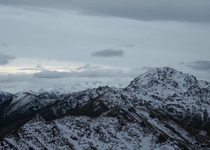
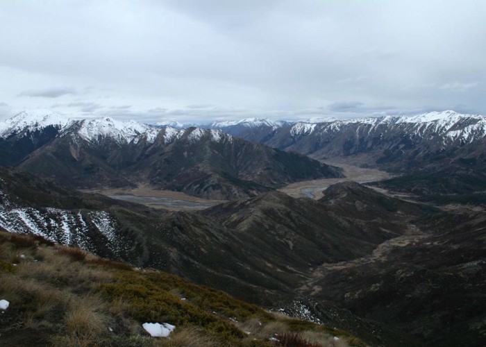
The day walk up Mount Isobel has much more to offer, moving from forest to sub-alpine scrub, and offering grand views into the dry hills of Molesworth Station to the north. The Chatterton River Track is a good alternative, and a much easier climb up to Jacks Pass (861m).
Highlights
- Walk beneath handsome pine forests on the Forest Journey
- Climb Conical Hill (550m)
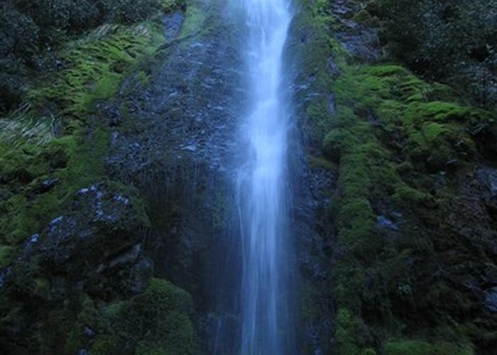
- Take the Waterfall Track to the summit of Mount Isobel (1324m)
- Recover in the hot pools at Hanmer Springs Thermal Reserve
How to get there
Hanmer Springs is 132km from Christchurch. Take SH1, turning onto SH7 at Waipara. After 68km take the Hanmer Springs turn-off, SH7A. Public transport is available to Hanmer Springs, and the town is easily navigable on foot.
Where to stay
A variety of options are available in Hanmer Springs, including hotels and motels, backpackers' lodges, holiday homes, and camping grounds.
Accessibility
No walks are confirmed accessible.
The basics
- Pets: dogs and pets are allowed in Hanmer Forest Park, but should be kept under control.
- Vehicles: bicycles are allowed on some tracks. There are also extensive tracks through the exotic plantation forest near the park.
- Overnight camping and walking: no fees, registration, or restrictions for the backcountry.
- Check in at the visitor centre for weather conditions and current information.
Hazards
- Tracks above the bushline are exposed to sudden changes in weather.
- Tracks through exotic forest may occasionally close due to logging operations.
- Tracks may be closed due to fire risk. Look for red flags flying outside the information centre and community hall.
Visitor information
Hurunui Visitor Information Centre
42 Amuri Ave, Hanmer Springs
+64 3 315 0020
|
Area
|
130 square kilometres |
|---|---|
|
Established
|
1978 |
|
Maps
|
NZTopo50-BT24
NZTopo50-BU25 NZTopo50-BU24 |