Hunts Creek Track
- 2 days return via same track
- Medium
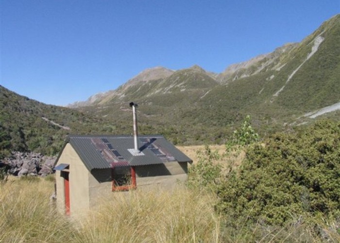
Rough travel to a small, tidy hut. Better walked as part of a circuit.
|
Walking time
|
2 days
10 hr
|
|---|---|
|
Distance
|
17.0km |
|
Type
|
Return via same track
|
|
Grade
|
Medium |
|
Bookings
|
No bookings — open access
No — open access
|
|
Starts
|
Kelly's Creek Shelter, SH73, north of Otira |
|---|---|
|
Maps
|
NZTopo50-BV20
|
|
Altitude
|
350m
–
920m
Altitude change 570m
|
The time indicated is from Kelly Shelter to Hunts Hut and return.
From the car park, a marked track begins and splits from the track to Carroll Hut but soon turns out onto the riverbed. Soon, a steep track commences on the true left and climbs high above a gorged section of river, crossing two creeks. Beyond here, the track mostly follows the riverbed, with occasional brief sections of track that are obviously not well used.
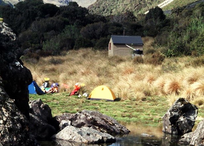
Eventually (roughly 3hr) a track commences properly to lead through light forest up to Hunts Saddle. The saddle is hard to navigate, being muddy and covered with head-high tussocks. Look for marker poles and watch out for deep holes. A very rough track continues to sidle in forest above Hunts Creek, climbing and falling regularly. The forest here is dominated by handsome (and in some cases very large) mountain nei nei. The track crosses the first of two large screes 20 minutes before the hut. Time from the saddle to the hut is about 1 hr 30 min. The hut is located at the edge of a tussock clearing.
Beyond the hut, a track leads to a boulder field and the open upper reaches of the valley. Several routes lead out of the valley over Bijleveld Col, Waimakariri Col, or Dry Creek.